Reading Jon Davies analysis of non supercell tornadoes, it seems possible.
From Jon's analysis:
If all these ingredients (the wind shift boundary, favorable low-level thermodynamic environment, storms forming on the boundary) come together properly, non-mesocyclone tornadoes may occur, particularly where localized outflow intersects the boundary as storms evolve.
VGP for tomorrow along the stalling cold front/OFB is below...(12z WRF run)

And while I always assume Earl's site is off quite a bit (from past experiences) 0-3 km CAPE is interesting:

Textbook low LFC's along the boundary:

Jon also states:
low-level CAPE suggests a low-level environment conducive to enhanced stretching beneath updrafts on the boundary with enough moisture depth and quality to reduce mixing and entrainment that would otherwise dilute buoyancy of lifted parcels below cloud base
The moisture depth is on par as well, the one thing that sticks out as different is the wind shifts....
Jon's analysis states the importance of the low-level thermodynamics with this as a factor in non supercell tornadoes:
Steep lapse rates that approach the dry-adiabatic lapse rate (roughly 8- 9oC/km or more) in the lowest 2 or 3 km
KOJC (Olathe) skew-t for 0z (7 p.m.) tomorrow:

0-1.5 km lapse rate shows 8.6 C/km.
I'm not going to get my hopes up or look at it in depth too much more until tonight's runs, but the possibility is there...
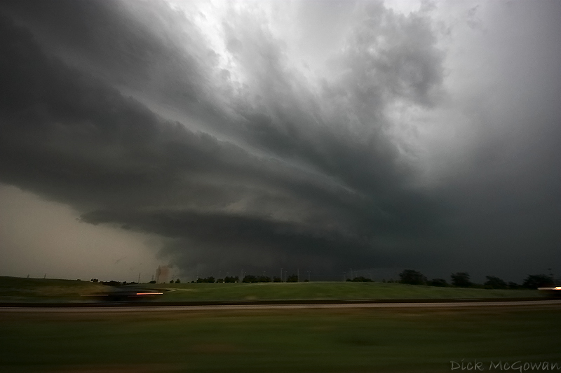
I'll probably post some "forgotten" images of this year in future posts, like this shelf cloud on July 2nd near Desoto, KS...
No comments:
Post a Comment