Email me at midwesternmeso (AT) hotmail [DOT] com

Please note: All images and videos on this blog are copyrighted by myself and may not be used without written permission. Any persons or entities who do not seek written permission will be held liable for copyright infringement(s) and will be subject to monetary compensation not to exceed $150,000 USD. (In pursuant to 17 USC Section 504(b) and (c), 17 USC Section 505.)

Wednesday, July 30, 2008

Surprise Supercell!


I noticed a lot of 0-3km MLCAPE pooling along a warm front and northeast of a surface low, which was the remnants of Hurricane Dolly, with decent 850-500 mb shear and sufficient helicity as well...and initially went after some developing storms just south of Olathe, in Linn county. Then realized that developing rain shower northeast of El Dorado, was headed for a more favorable environment...it paid off big time, with great structure, a rotating wall cloud (not pictured) and I only spent about 25 bucks in gas!

More later today it's late now...

Monday, July 28, 2008

Hurricane Dolly Damage, Shelf Cloud Pictures

I talked to my grandfather on Friday night, he was still without electricity and waiting on that to be restored and to get gasoline at the stations that didn't have extremely long lines. His place near Rancho Viejo, Texas was fine, but after telling him about the tornado report associated with Dolly the night before landfall, said that at the time I told him the tornado (from the night before) was reported, thought he heard a helicopter or airplane outside, but realized it was strong wind.

In June of 1966, he owned a pharmacy on Gage Boulevard in Topeka, Kansas, and noticed the weather was getting bad and decided it was time to take shelter when he and my uncle saw a pop machine moving down the street, end over end! He ended up lying on top of my uncle inside the pharmacy and they both swear at one point, they were starting to lift up and felt as if they were floating before it was over. His pharmacy was completely destroyed by an F-5 tornado that hit Topeka, KS on that day.

Back to Hurricane Dolly...my uncle's bar and grill's roof in Arroyo City, Texas (which he was about to sell) was blown off, and his house badly damaged along the Arroyo there in Arroyo City and he was still without power. I haven't talked to him, but my mom has (which is her twin brother), but said he was in the eye with clear skies at one point! I'll post more about the damage and hopefully get some pictures of the damage soon...

Derek Shaffer and I went out the other day to chase a busted tornado watch. The first pair of storms that went up near Troy, KS would have been the "players of the day" had they rode that outflow boundary southeastward, but rather moved E/NE into more stable air and would vaporize. The anvils on them looked rock solid when we reached them, but had to head further west to the only storm that fired in Nebraska, as we caught it near Seneca, KS...then south to Holton.

East of Holton, it had strong RFD that kept cutting in giving that strong swirling vertical motion on the edge of the gust front and the motion on it was very intense, but the storm remained outflow dominant and lost intensity shortly near dusk. The storm wasn't even severe warned at the, but winds easily exceeded severe criteria, throwing several large tree limbs our way east of Holton, KS.

Some pictures of the shelf cloud:


And a lightning image I got last night...9 CG's in just 30 seconds!

Wednesday, July 23, 2008

Hurricane Dolly, Chase Pictures


Hurricane Dolly made landfall this afternoon, with the eye very close to my uncle's house in Arroyo City, TX. He still had power at around 11 a.m., but my grandfather who lives a few miles NW of Rancho Viejo, TX did not as of 5 a.m. There was also a tornado less than a mile from his house...per SPC:

0414 3 NW RANCHO VIEJO CAMERON TX 2607 9759 ROPE TORNADO REPORTED BY SPOTTERS NEAR HIGHWAY 100 AND 77. (BRO)


He lives JUST to the south of that intersection!

I archived level II data and could never find even a shower around that time, so the report must have been off. It looks like major flooding is going to be a burden to the usually dry Rio Grande Valley.

Darin and I went chasing on Monday, and tried to jump on the first storm that went up west of Highland, KS early in the day, but my stupid serpentine belt broke and we were stranded in major HEAT for 2 hours. Thankfully, a kind farmer stopped, went home, got some tools and rigged the belt up to get us on our way. BTW HUGE thanks to whomever you were, you went out of your way to help us. He went home and got some tools, then came back. That's why I love Kansas and out of the city, generous people are everywhere. If this were in the city, we probably would have been hit by someone. Another reason why I miss Western Kansas. Darin got his address, so we'll hopefully be able to offer him something for his generosity.

Meanwhile, storms are firing in NC MO westward, and nearly chase us...we caught a dusk supercell with impressive beavertail and lowering underneath a rain-free base just north of Wathena, KS. Anvil seeded it and another storm we were on, so we shot lightning for a bit...

Near Troy, KS:


Then some lightning shots along with mammatus visible at night thanks to the city lights!


Then, as I headed to Lawrence yesterday to see Devin...I noticed a storm in Osage county and some towers flanking into it from the northwest...and a stunning scene of a shelf cloud that rolled over Clinton Lake.


I also went out on the day I posted the previous entry, but an MCV loaded with a cloud deck prevented low level lapse rates from exceeding 7 c/km...but of course I chased it, which yielded an interesting storm with what I thought had strong rotation for nearly 2 hours, but failed to produce...it was pulling scud literally off the ground. Worst structure ever and rain-wrapped to hell along with major fog....which ended up salvaging my chase. Insane fog, that would get pulled up off the ground and brought up to about 1000 feet before turning into a towering cumulus cloud...behind these storms. I think I took about 4 gigs worth of pics, but few meeting my standards or could really capture the tough scene with a very high-dynamic range.

More tomorrow...

Thursday, July 17, 2008

Tomorrow's Surprise Potential

I was checking the models for tomorrow and noticed what could possibly be a surprise tornado day from non-supercell storms from northeast into possibly central Kansas tomorrow.

Reading Jon Davies analysis of non supercell tornadoes, it seems possible.

From Jon's analysis:

If all these ingredients (the wind shift boundary, favorable low-level thermodynamic environment, storms forming on the boundary) come together properly, non-mesocyclone tornadoes may occur, particularly where localized outflow intersects the boundary as storms evolve.


VGP for tomorrow along the stalling cold front/OFB is below...(12z WRF run)


And while I always assume Earl's site is off quite a bit (from past experiences) 0-3 km CAPE is interesting:


Textbook low LFC's along the boundary:


Jon also states:

low-level CAPE suggests a low-level environment conducive to enhanced stretching beneath updrafts on the boundary with enough moisture depth and quality to reduce mixing and entrainment that would otherwise dilute buoyancy of lifted parcels below cloud base


The moisture depth is on par as well, the one thing that sticks out as different is the wind shifts....

Jon's analysis states the importance of the low-level thermodynamics with this as a factor in non supercell tornadoes:

Steep lapse rates that approach the dry-adiabatic lapse rate (roughly 8- 9oC/km or more) in the lowest 2 or 3 km


KOJC (Olathe) skew-t for 0z (7 p.m.) tomorrow:


0-1.5 km lapse rate shows 8.6 C/km.

I'm not going to get my hopes up or look at it in depth too much more until tonight's runs, but the possibility is there...

I'll probably post some "forgotten" images of this year in future posts, like this shelf cloud on July 2nd near Desoto, KS...

Monday, July 14, 2008

Moon Halo, Corona, Night Fog, Rebel Xsi noise

I went out on Saturday night, noticing the heavy fog developing around 11 p.m. As the fog started to thicken up in a soybean field, I looked up and noticed a partial moon halo just above the fog! It was weird, it really got heavy in this same field where the deer were the night before, and then slowly just rolled out...but not before a partial moon halo was visible with fog underneath it!
This is at ISO 400, f/4 and 30 seconds @ 10 mm...


So I headed towards the river near Eudora, but not so much along the river, but 1/4 mile on each side of it. Under the thick fog and some of the biggest, healthiest corn stalks I've seen in years, was a nice moon corona. I'm going to retract my statement about the XSi's noise using the High ISO noise reducer, because on long exposures at 30 seconds at 1600, it performs very poorly. My only guess on the other night, would be shorter exposures under 15 seconds.

Moon corona near Eudora, KS:


ISO 800, f/5.6, 5 secs @ 57 mm.

I went out last night near Gardner, KS on an overpass with no ramps and took long exposures of the moon and cars passing on the interstate really late...which got me pulled over and questioned for a good 15 minutes! But thanks to the officers for being polite and letting me stay on there lol. I'll post those later today.

More fog pictures:


Saturday, July 12, 2008

Fireflies, Deer, Canon Rebel Xsi Noise

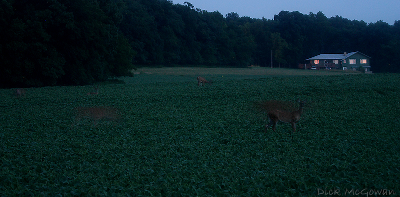
I went out on the 9th, not too far from my house, out in the country and noticed 3 BIG bucks out in a field not more than 100 yards from me, so I tried to put on my 100-400 L lens on but they ran through a tree row before I could. Two of them had impressive racks, with the velvet on them as they do this time of year. I continued on just past the tree row, into where another open field was and noticed at least a dozen other white-tailed deer in a soybean field. It was almost completely dark at this point, about 30 minutes after sunset, but I mounted the lens onto my camera, then the camera on one of my Bushnell window clips, not knowing if it would hold this 3 lb lens with my camera...but it did, if I tightened it really good.

They started to take off, so I killed my lights and then the car to remove any vibrations and could still make out the deer with just enough light...but not enough to tell if I were in focus or not. Anyone who has used this lens knows the manual focus on it, is very sensitive, and just the tiniest of movement will throw it way out of focus. So I practically guessed and then shot at 400 ISO, and over exposing the shots to see if I could get them, and somehow I guessed right on the focus...and got them in the frame! I was near a creek, and corn field to my right with dewpoints approaching 75 degrees, so there was sweat dripping into my eyes...a very tough thing to do with a heavy lens, darkness and heat factors.

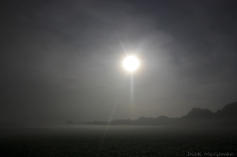
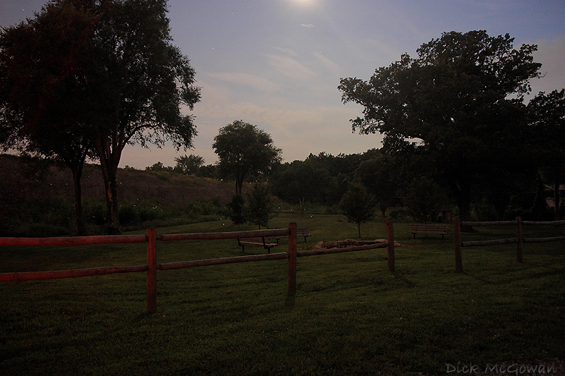
Here are a few shots of the deer with some fireflies in the shot, click to enlarge and EXIF data is always embedded in my pictures. There is NOT this much light out, I'm doing almost 15-30 second exposures at 200-400 ISO!


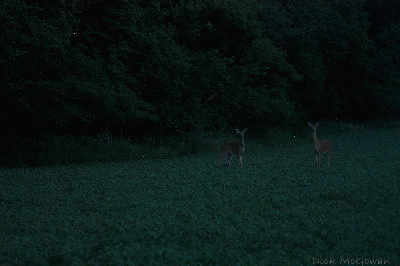
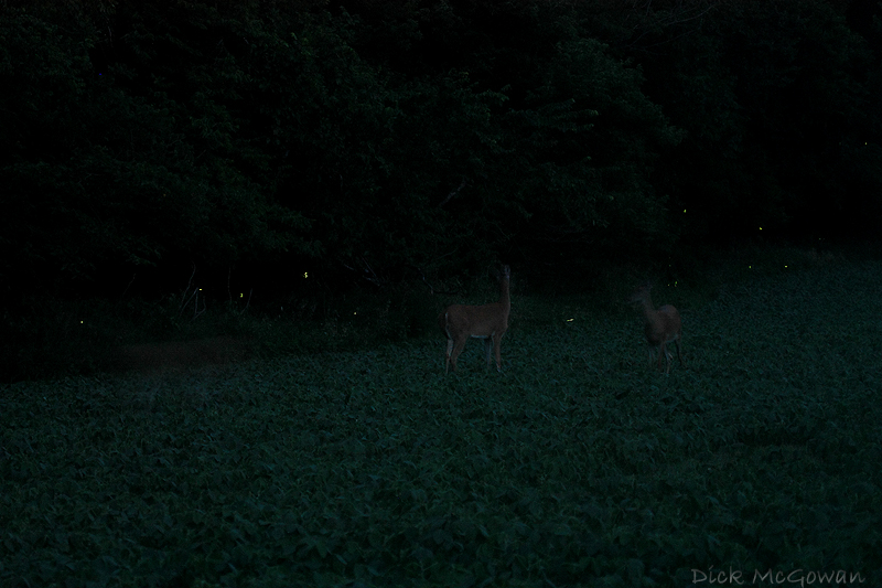
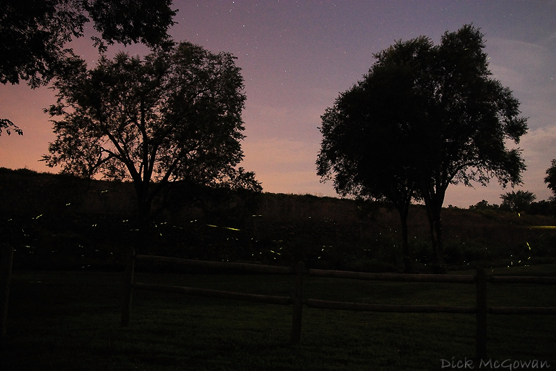
I took this last shot here, and by the next frame...they were all gone. So weird, because I couldn't hear, nor see them leave. They were grunting before this, then all of a sudden gone...


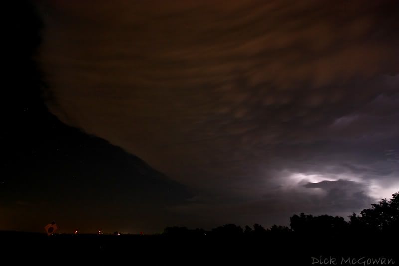
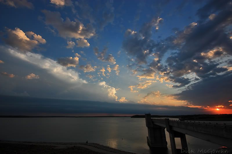
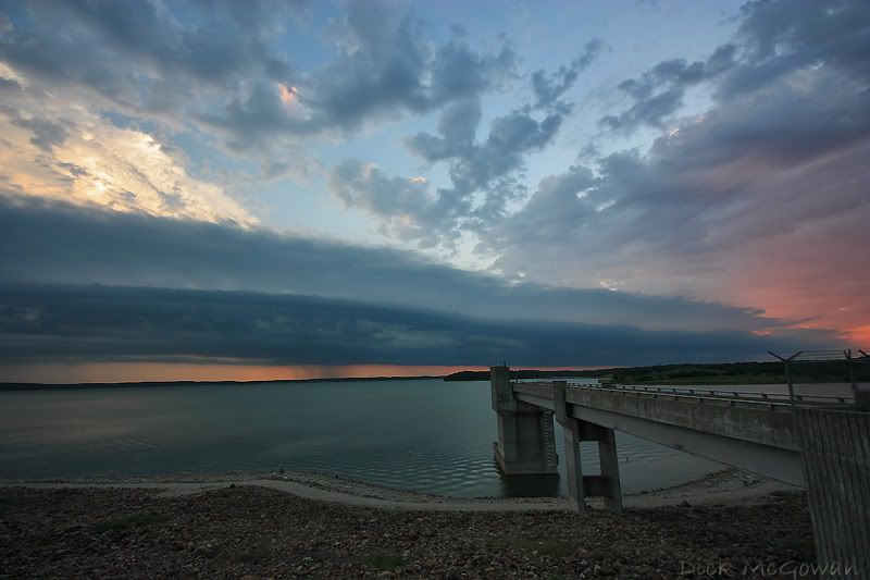
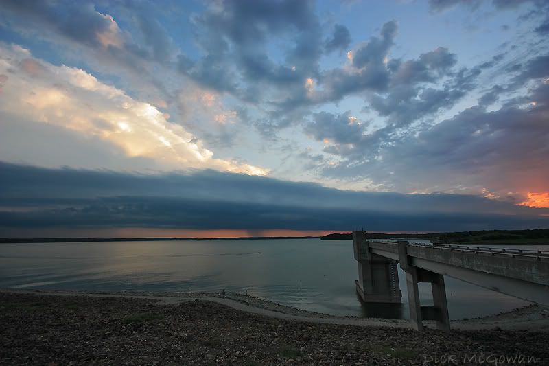
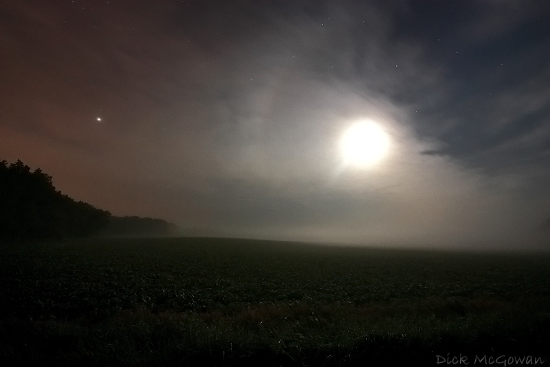
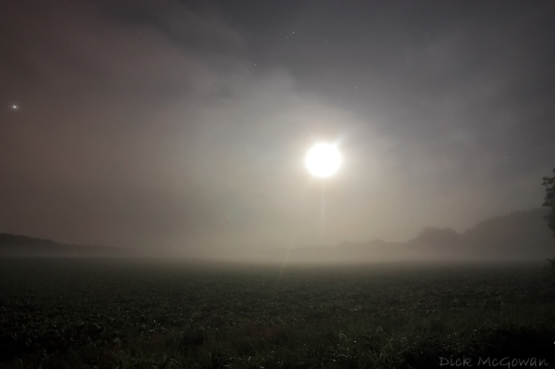
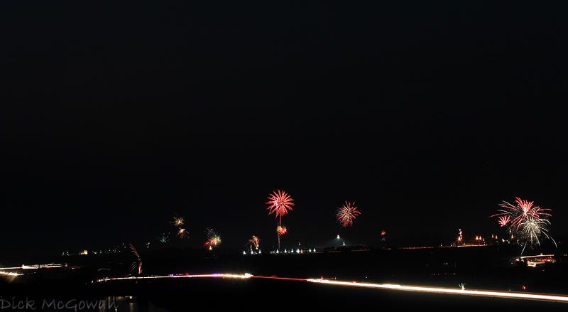
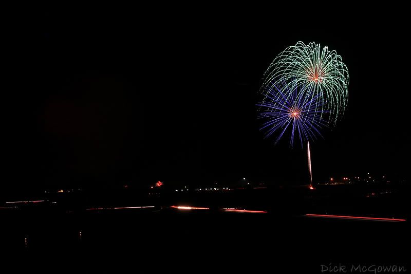
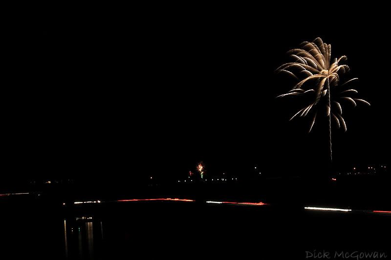
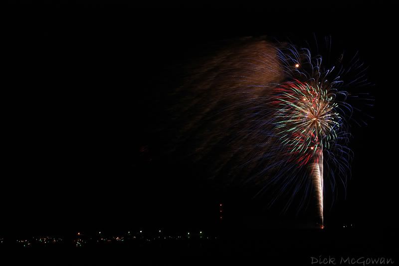
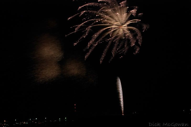
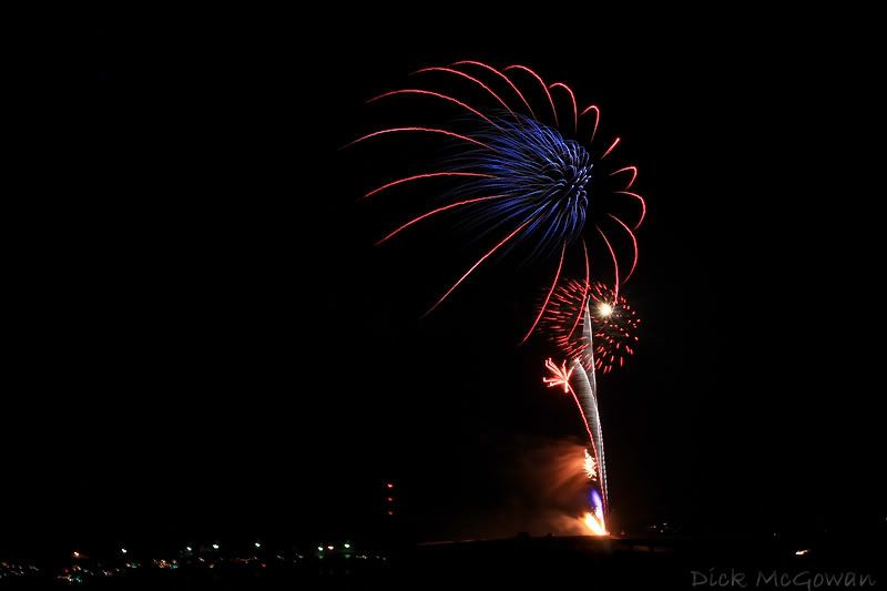
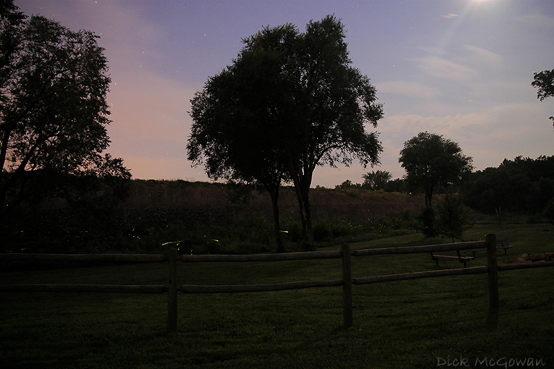
So I left and went to Gardner Lake to shoot some more fireflies, and tried ISO 1600 and to my surprise, no noise...when I had the new high ISO function on. Now my XT has something similar to this on it, but it's not the same and is new to the Rebel series with the Xsi. The Xt has it as well, but it seems as if it takes longer...ie..if you shoot a 30 second exposure, it will take an additional 30 seconds to process it. But...if you leave this function on all the time, (which I highly recommend doing so), you'll lose your burst of shots.
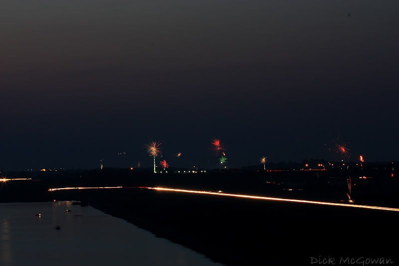
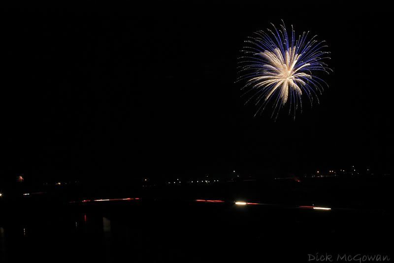
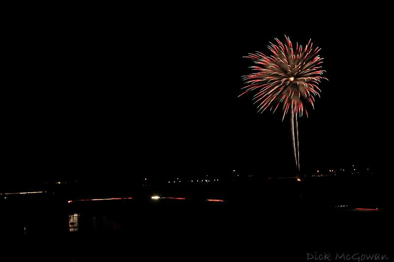
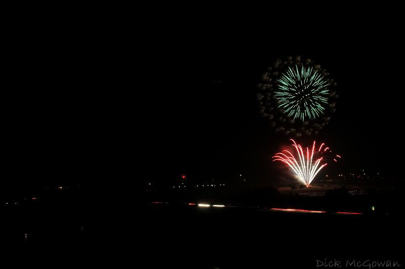
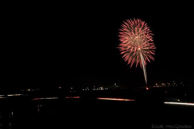
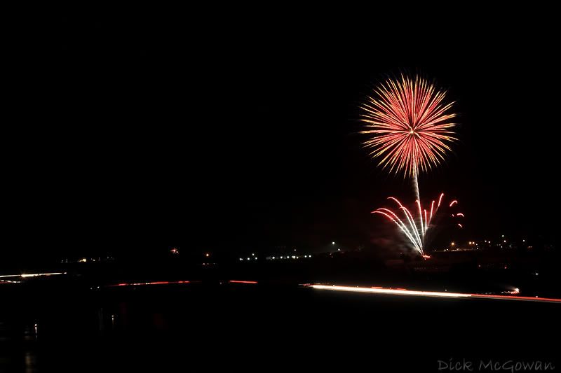
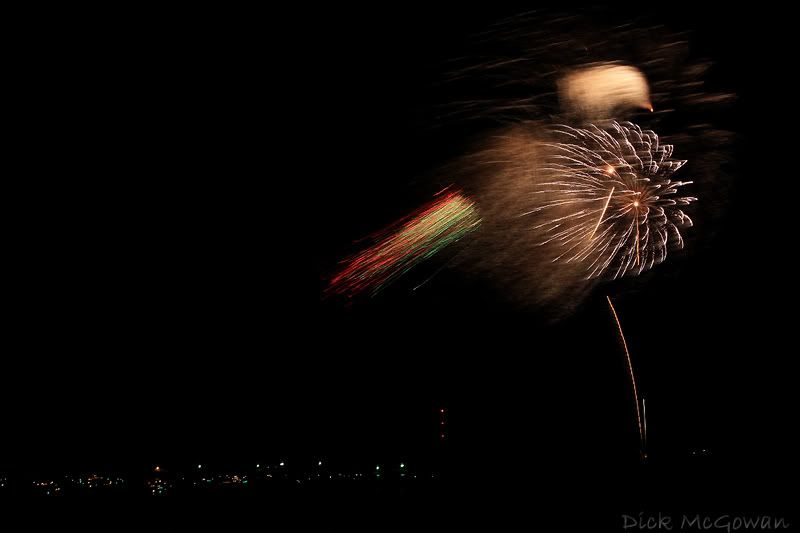
 Here is Canon's explanation of this.

I don't shoot sports or other scenes 90% of the time that requires me to fire off bursts to capture a quick-changing scene, so I leave it on. The XT's noise vs. the Xsi with High-ISO noise reduction function on is horrible. Here are images shot at 1600 ISO with 8-10 second exposures.


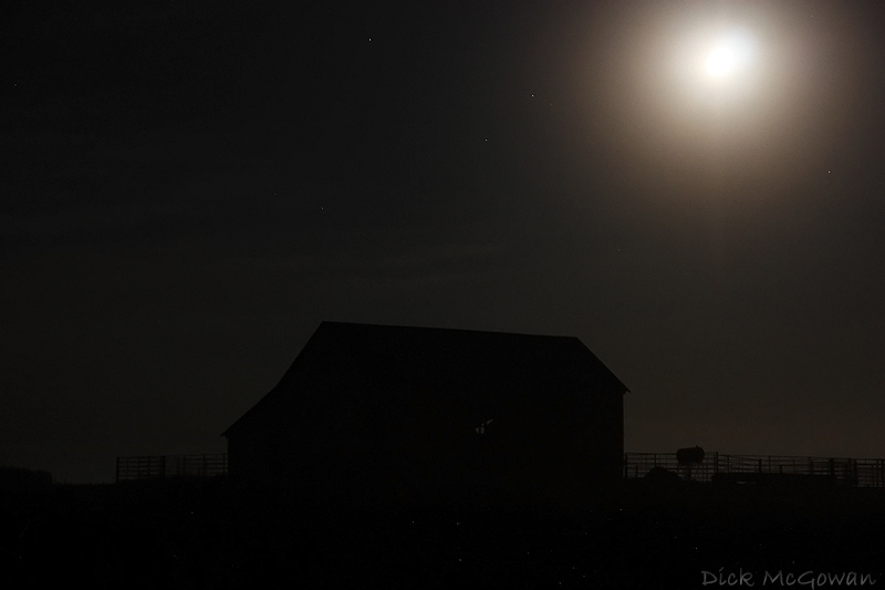
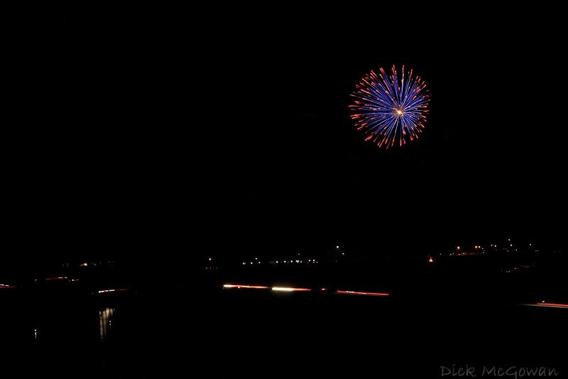
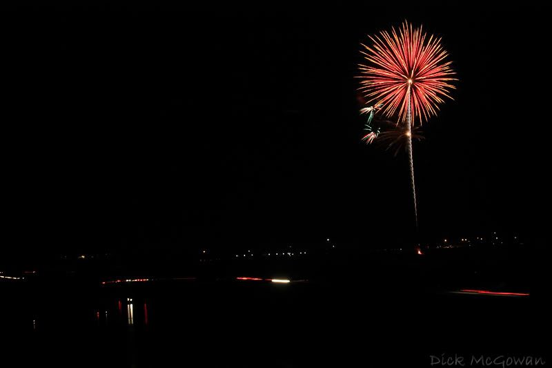
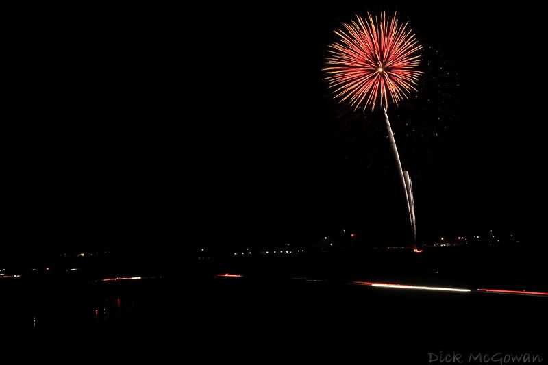
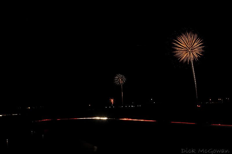
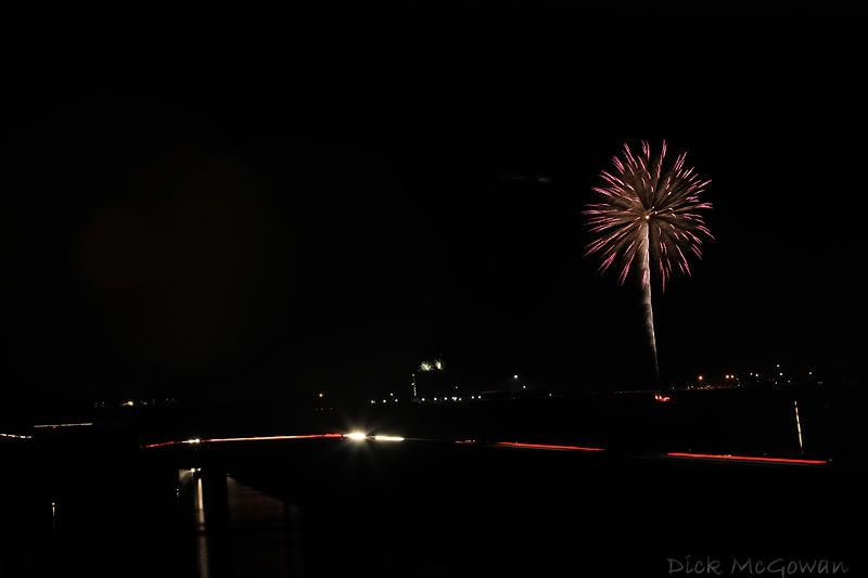
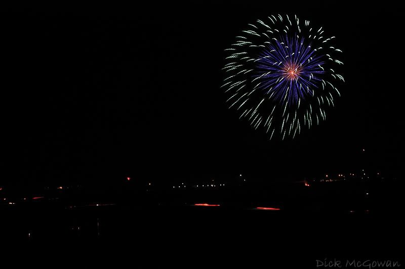
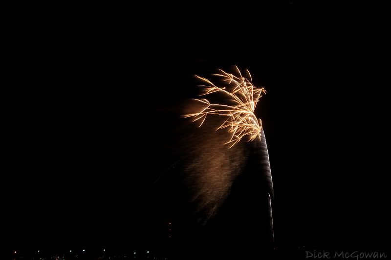
and an 800 ISO shot with a 15 second exposure:


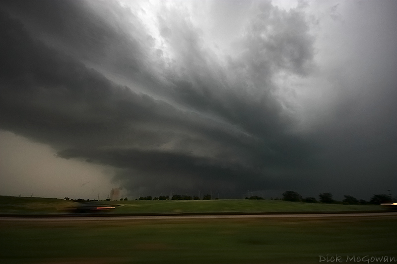
To say the least, I was surprised, and didn't know about this function which is standard as OFF when bought new. I wish I would have known this on the Quinter tornado, as 800 ISO is what I used and has too much noise for my taste.

Rumors of the new Canon 5D II or Canon 5D Mark II are still surfacing for coming out this fall, and will hopefully blow away the new Nikon D3 in terms of noise and other features...I'm considering going the full-frame route, but will have to see how much it is, since I've never made a dime off of any photography...I just do it because it's fun and challenging at times. I have some more 1600 shots in complete darkness I'll post in the future as well, in case anyone wonders about the "dark' pixels being affected.

Monday, July 07, 2008

Storm Chasing Highlight DVD

I've decided to make a double-disc Storm Chasing Highlight DVD of our 2007-2008 chasing season. One DVD will be strictly May 4th, 2007 the Greensburg day with a bonus of the 4th of July 2007 in Greensburg, KS...

The rest will be our highlights of 2007/2008 chase season. Just a few days off the top of my head, 3/28/2007, 5/5/2007, 5/22/2007, 5/1/2008, 5/10/2008, 5/22/2008, 5/23/2008, 5/29/2008, 6/4/2008, 6/11/2008. Darin's got some insane footage of 5/29/2008 that no one has seen from inside the town of Glen Elder where he nearly gets hit by multiple vortices struggling to get back into the car...plus of course Quinter #1 fat cone on 5/23/08 coming right at us...6/11/2008 the Manhattan Kansas Tornado and incredible structure earlier in the day... and 6/4/2008 where we were one of the only ones to see multiple tornadoes, including a dusk wedge with prior cone tornadoes. I'm making the trailer now, and hopefully this will be out by October. My first production of a DVD as Darin did the 1st...

Lawrence and Perry Kansas Firework Photos

Here are some photos I took of the fireworks on the Clinton Lake dam near Lawrence, Kansas with my girlfriend, Devin. As always, click to enlarge:


And then on July 5th, on the Perry Lake dam near Perry, KS (Between Topeka and Lawrence). The 5th was definitely better than the Lawrence one on the 4th...15-20 minutes of intense multiple fireworks as opposed to Lawrence's 45 minute long display that was more spread out. Darin, Lexi and I walked 1.5 miles to the closest spot one could possibly get. We were where the firemen blocked it off on the dam and about 200-300 yards away. There were hundreds of boats on the water, which made the site that much more enjoyable. My tripod head broke and I forgot my shutter release cable in the car, so most of my shots were f'd up with camera shake. Oh well...


Contact Me

Contact me @
midwesternmeso AT hotmail (DOT) COM

wibiya widget