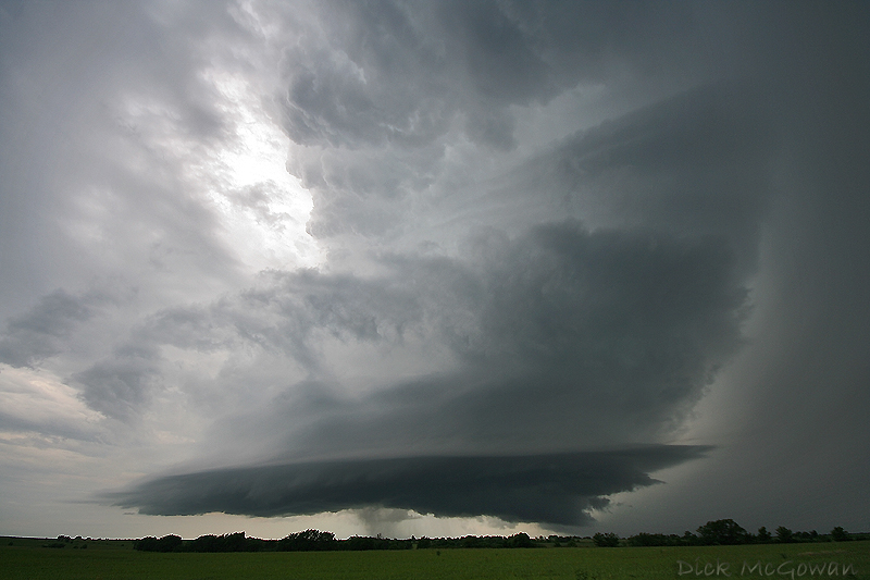
June 5th, high risk day...taken in Pottawatomie County, Kansas:
July 2nd, surprise in Lyon/Osage County, Kansas:
July 24th, red box bust, just north of Holton, Kansas:
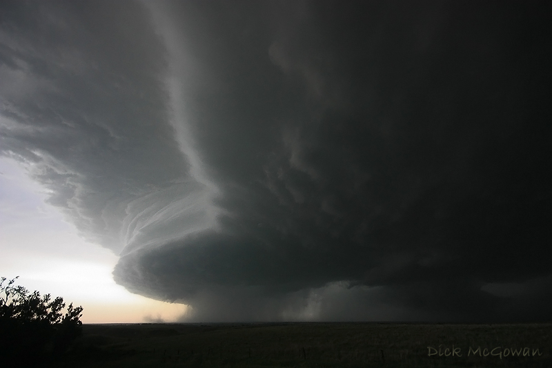
June 11th, moderate risk, Kanapolis State Park, Kansas:
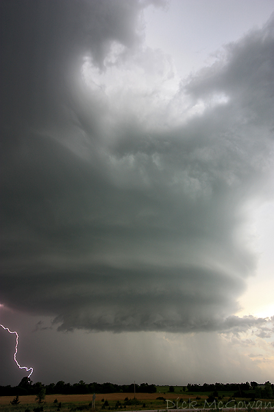
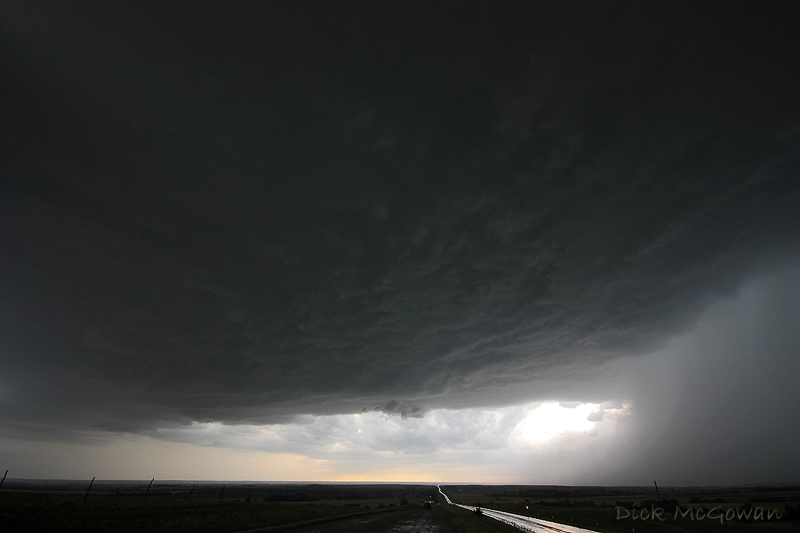
July 29th, surprise tornado-warned, low-topped supercell near Olpe, Kansas:
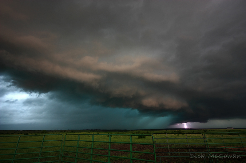
May 25th, NW Barton County, Kansas:

June 11th, Near Concordia, Kansas:
April 23rd, Ottawa, Kansas:

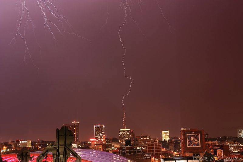
July 2nd, Downtown Kansas City lightning:
June 3rd, NW Missouri, Amish children's reaction to an approaching storm:

3 comments:
Your Amish scene deserves some kind of award. Except for the truck, felt like I was taken back 75 years.
On a positive note, maybe we'll end 08 with a nice, photogenic Midwest ice storm disaster? That's always fun.
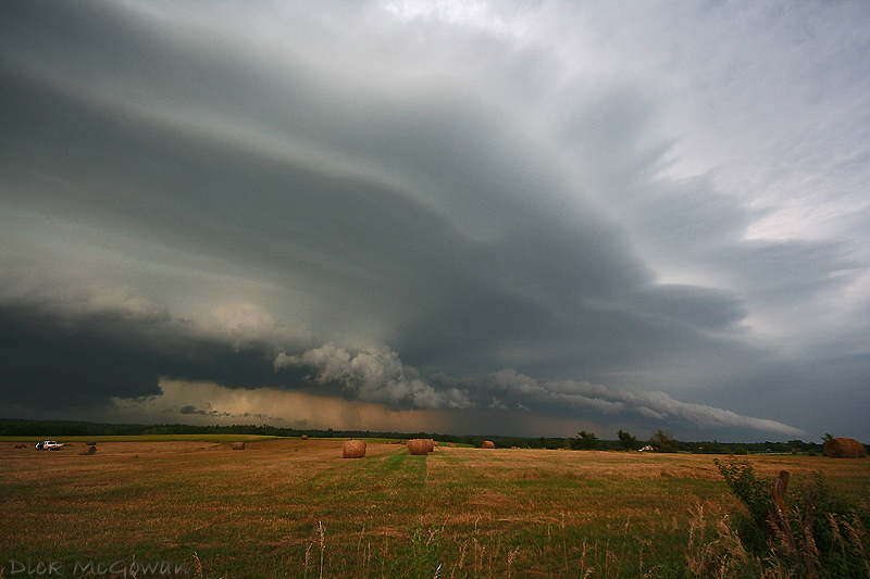
July 29th storm pic is pretty bad ass. I also like the one with the hay bails in the foreground... Get your DVD ready so we can Trade!!!
6/5 & 6/11 pics are incredible. All great shots...really liking the music too.
Post a Comment