Email me at midwesternmeso (AT) hotmail [DOT] com

Please note: All images and videos on this blog are copyrighted by myself and may not be used without written permission. Any persons or entities who do not seek written permission will be held liable for copyright infringement(s) and will be subject to monetary compensation not to exceed $150,000 USD. (In pursuant to 17 USC Section 504(b) and (c), 17 USC Section 505.)

Sunday, March 08, 2009

Storm Chase Photos + Firenado Pictures

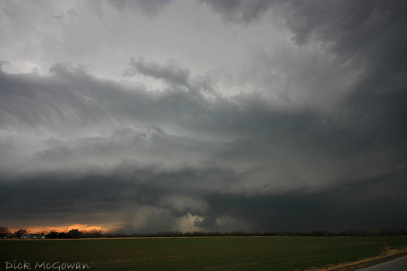
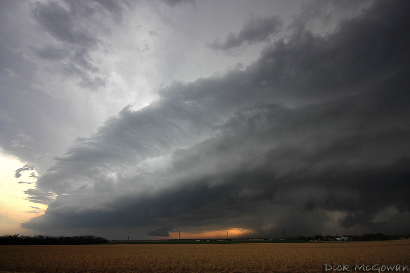
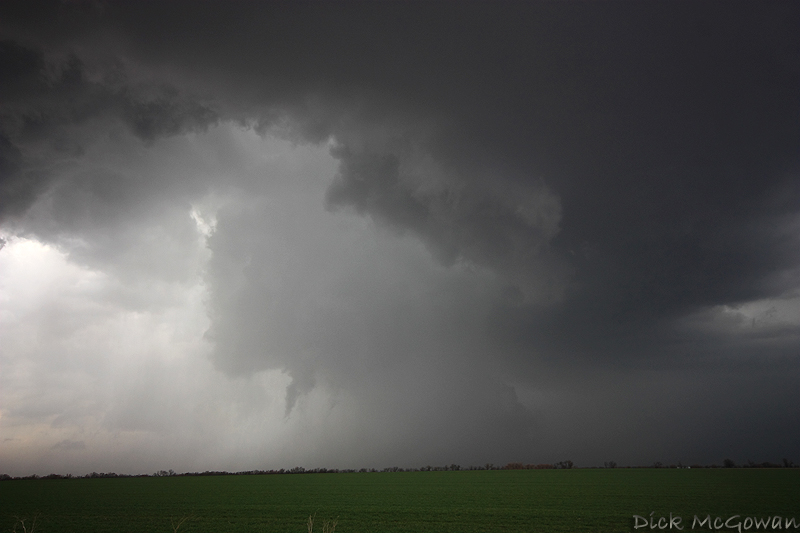
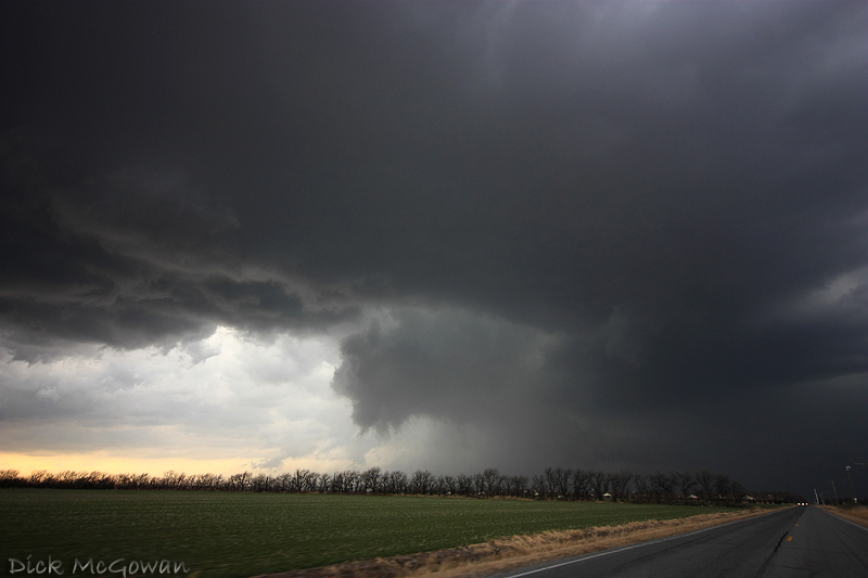
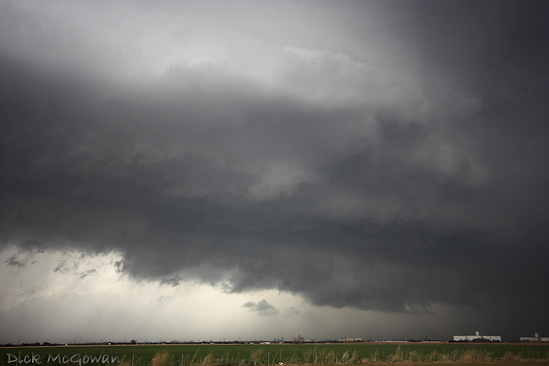
I don't have a lot of time to go into detail...as I'm heading to Las Vegas on Thursday and have very little time. Darin, Lexi and I intercepted the supercell near Hutchinson, Kansas early on and followed it for a few hours. There were brief spinups beneath high-based, rotating wall clouds on several occasions. The first we could see was several miles west of Hutchinson, then on the south side of Hutchinson, then about 5 miles NE of Hutchinson. The storm soon took on a shelfy appearance, but re-organized quickly and spun up yet another south of Hesston. Below are a few pictures of the chase (all shot with the 10-20 mm ultra wide angle lens). Met Michael Carlson and Dann Cianca briefly and it was good to finally meet them! Not a bad chase for early March!

Hutchinson Supercell

You can see the dust on the horizon left of center here (looking west from South Hutchinson) :
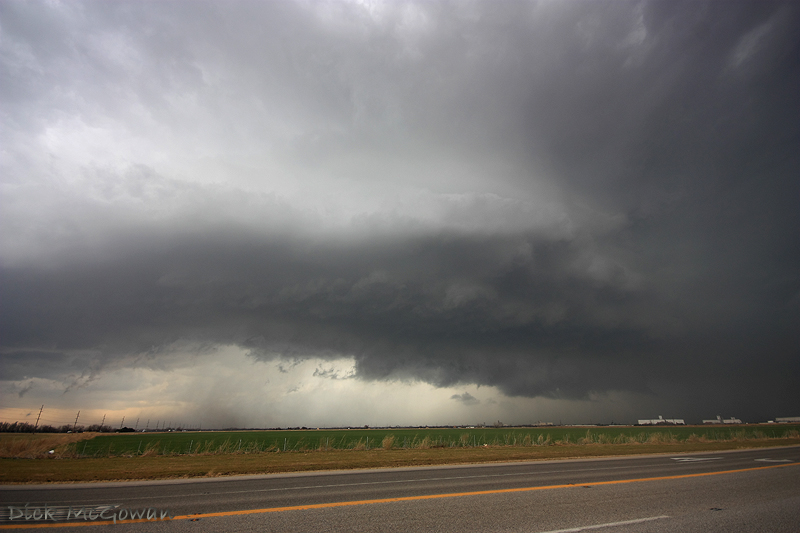
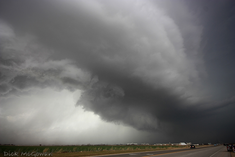
Hutchinson Supercell

Hutchinson Supercell

Hutchinson Supercell

Hutchinson Supercell

Then near Hesston:

Hutchinson Supercell

Hutchinson Supercell

On Friday, I was lucky enough to see several firenadoes up close, below are a couple of pictures. Hopefully I have more time later tonight or tomorrow to process more photos.
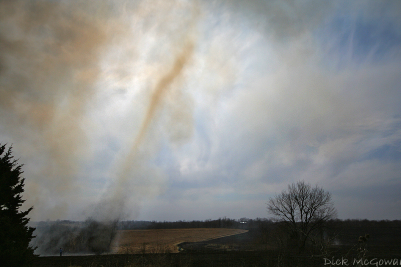
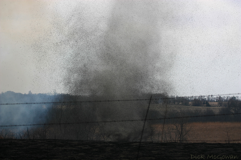
Firenado

Firenado

1 comment:

Dann Cianca said...

You kids and your damn cameras that have a better dynamic range than mine. *grumbles*

Contact Me

Contact me @
midwesternmeso AT hotmail (DOT) COM

wibiya widget