Email me at midwesternmeso (AT) hotmail [DOT] com

Please note: All images and videos on this blog are copyrighted by myself and may not be used without written permission.

Sunday, March 08, 2009

Storm Chase Photos + Firenado Pictures

I don't have a lot of time to go into detail...as I'm heading to Las Vegas on Thursday and have very little time. Darin, Lexi and I intercepted the supercell near Hutchinson, Kansas early on and followed it for a few hours. There were brief spinups beneath high-based, rotating wall clouds on several occasions. The first we could see was several miles west of Hutchinson, then on the south side of Hutchinson, then about 5 miles NE of Hutchinson. The storm soon took on a shelfy appearance, but re-organized quickly and spun up yet another south of Hesston. Below are a few pictures of the chase (all shot with the 10-20 mm ultra wide angle lens). Met Michael Carlson and Dann Cianca briefly and it was good to finally meet them! Not a bad chase for early March!

Hutchinson Supercell

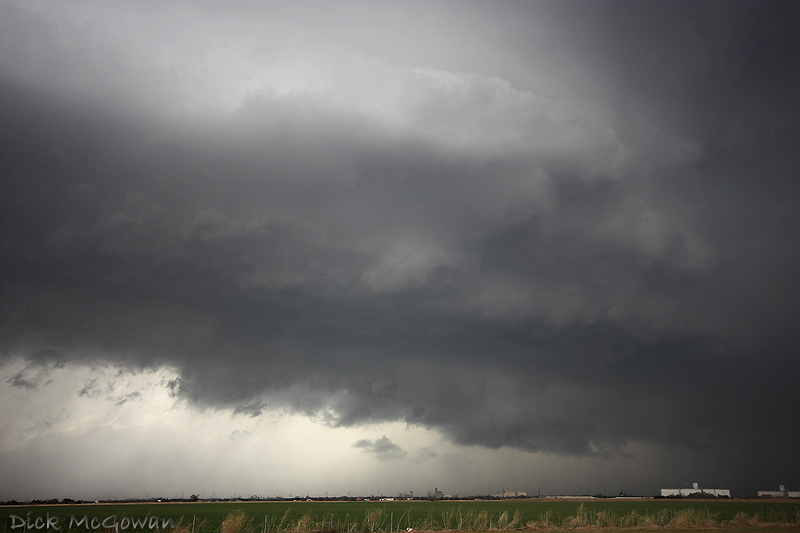
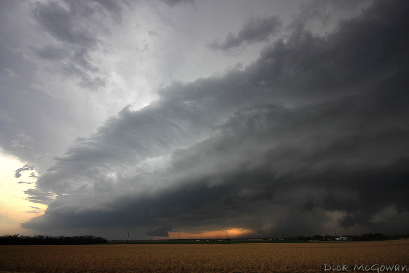
You can see the dust on the horizon left of center here (looking west from South Hutchinson) :
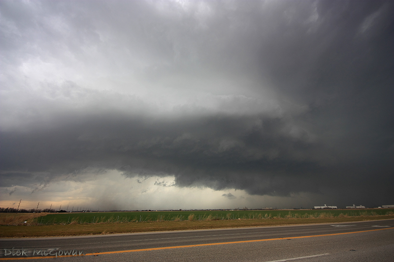
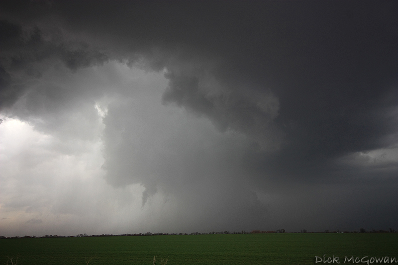
Hutchinson Supercell

Hutchinson Supercell

Hutchinson Supercell

Hutchinson Supercell

Then near Hesston:

Hutchinson Supercell

Hutchinson Supercell

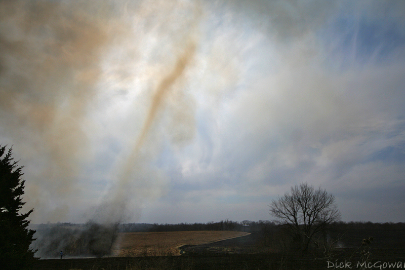
On Friday, I was lucky enough to see several firenadoes up close, below are a couple of pictures. Hopefully I have more time later tonight or tomorrow to process more photos.

Firenado

Firenado

1 Comments:

Dann Cianca March 9, 2009 1:26:00 PM CST  

You kids and your damn cameras that have a better dynamic range than mine. *grumbles*

Blog Archive

Contact Me

Contact me @
midwesternmeso AT hotmail (DOT) COM

  © Blogger template 'The Pattern' by Ourblogtemplates.com 2008

Back to TOP