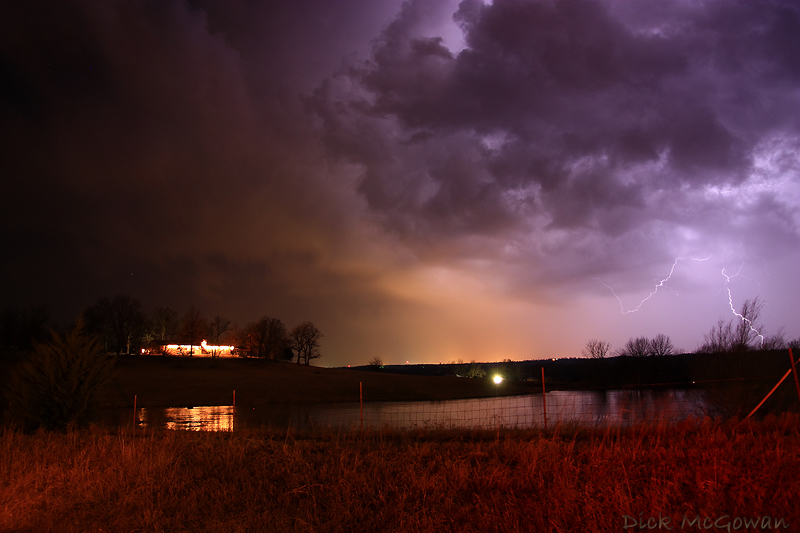
Darin and I took advantage of a rare, late December storm chase this past Friday. We waited until about 9:30 p.m. before storms began to fire in response to an occluding surface low pressure, strong height falls and cool air aloft being brought in from a trof quickly ejecting out of California. The cap held strong until these cooler temps aloft arrived and a tornado watch was issued for most of Eastern Kansas and NW Missouri. Sufficient 0-3 km CAPE was present for tornadic supercells (according to SPC’s mesoanalysis), but the timing of the upper level low arrived too late for the better low-level shear to stay in place…resulting in fast-moving, elongated storms that quickly raced (in excess of 65 mph) over the instability axis (in the warm sector). Later on, as the cold front arrived, numerous storms quickly formed and numerous straight-line wind damage was reported in the Lawrence-Kansas City areas.
Below is a picture of a lucky lightning strike I shot within the few minutes we could actually attempt to document these fast moving storms at night. As a photographer, it was a tough decision compromising noise to capture the structure of the storms, or time (for exposures) to capture a lightning strike. I alternated every so often and was lucky to capture one of the very few there were.
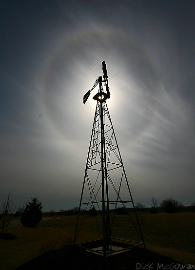
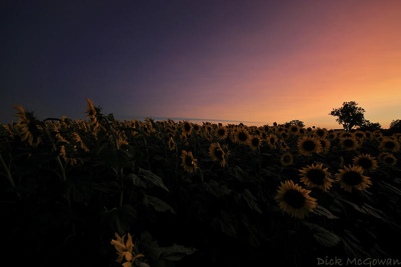
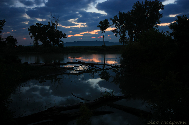
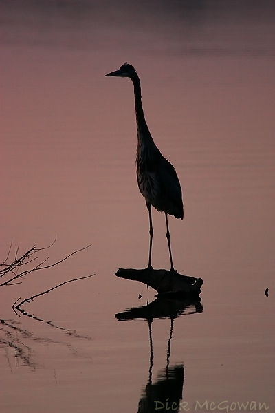
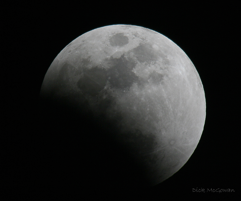
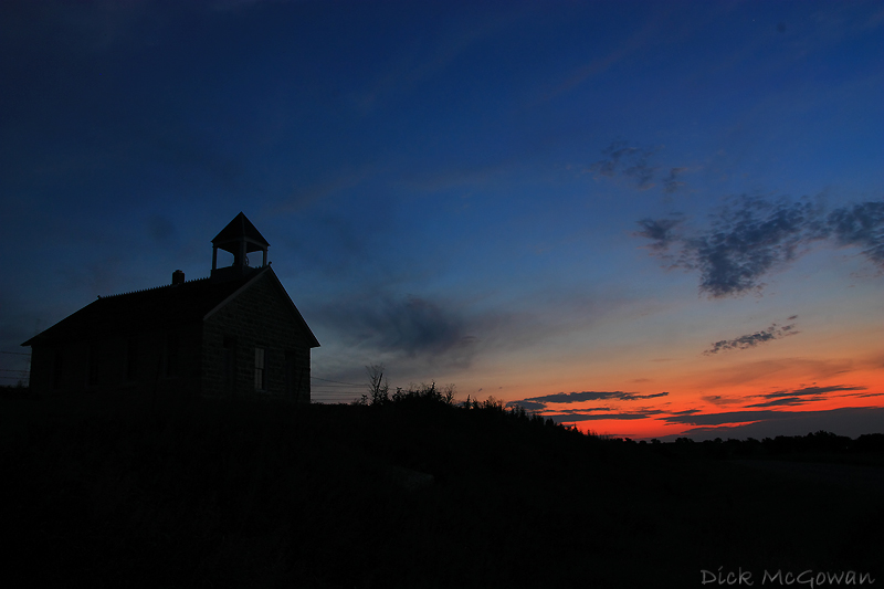
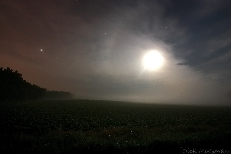
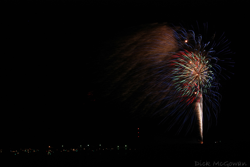
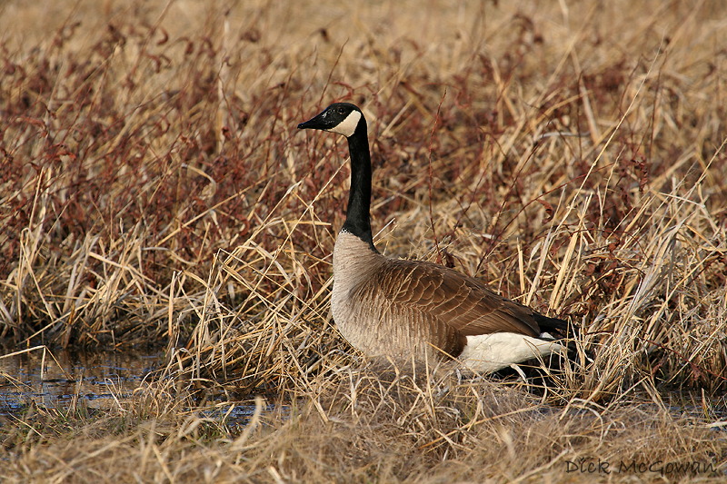
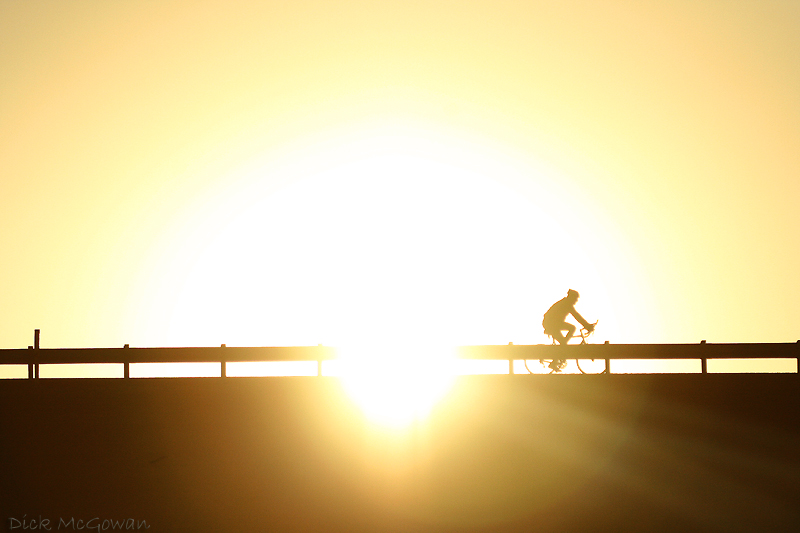
And since it is New Year's Eve, that means time to post my top photos of 2008 that I've taken. Happy New Year's everyone, and here's to a great 2009! I may edit this post with more as I'm currently on my dialup connection via my phone!

My dream girl!: (Besides my girlfriend of course ;) )
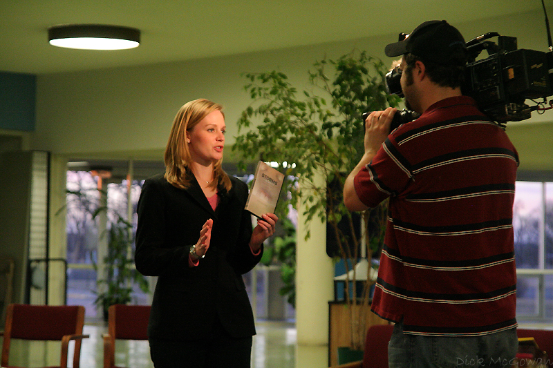
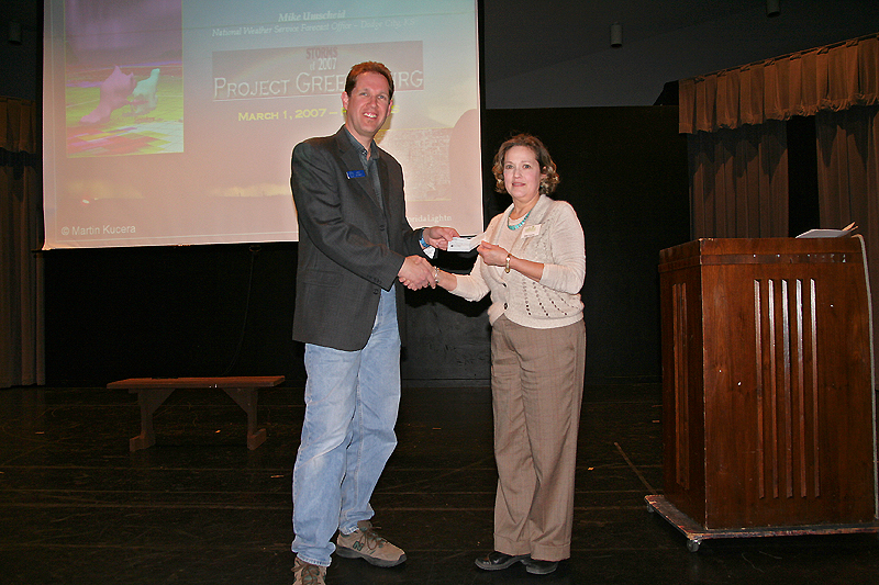
Project Greensburg, Greg Stumpf presenting the check to Greensburg Greentown.
No comments:
Post a Comment