It's been awhile since I've updated this thing as I've been super busy with school and am working on my last final as we speak. On Sunday morning, here in Lawrence/Olathe, Kansas we went from a mild 57 degrees to a freezing 6 degrees and later that night, we got a dusting of snow. This morning when I woke up, there was about 2 inches on the ground and as I write this at 11:46 a.m. CDT, there is still a light, gentle snow falling despite any returns on radar. The main band that gave us the small accumulation, rapidly moved northeast and is slowly dissipating along the IA/MO borders.
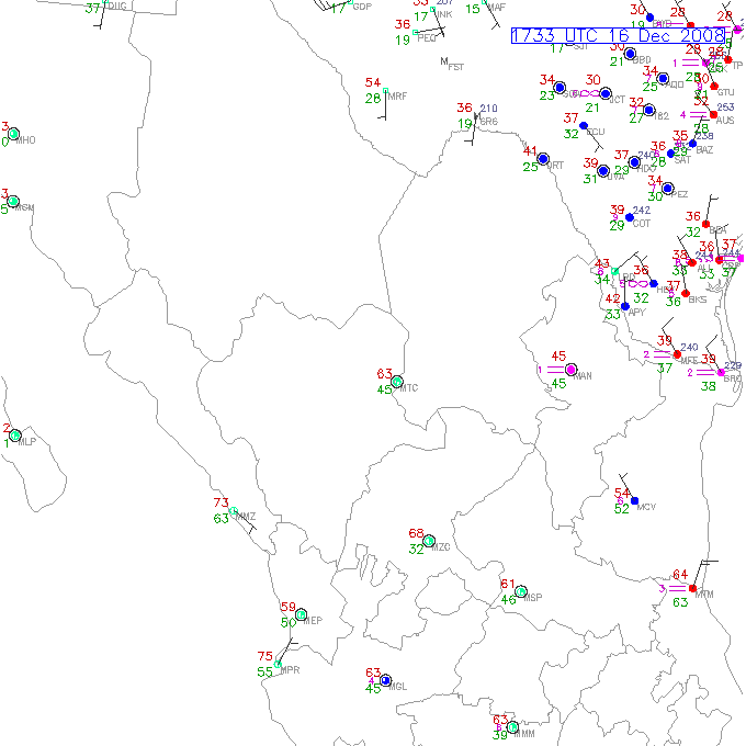
I was checking surface observations and noticed this "treat" of arctic air, has pushed hard into South Texas and it's currently 39/38 in Brownsville, (the absolute southern tip, in which I was born) Texas which is reporting haze.

This can't be good for their citrus crop. I remember having a banana tree in my backyard and the thing died when we hit mid 40's back in the late 80's. I think it was back on Christmas day in 2005, that South Padre Island and the Rio Grande Valley woke up to snow that morning! My grandfather was up here for Thanksgiving and was complaining about mid 50's, I wonder how "freezing" he is now!
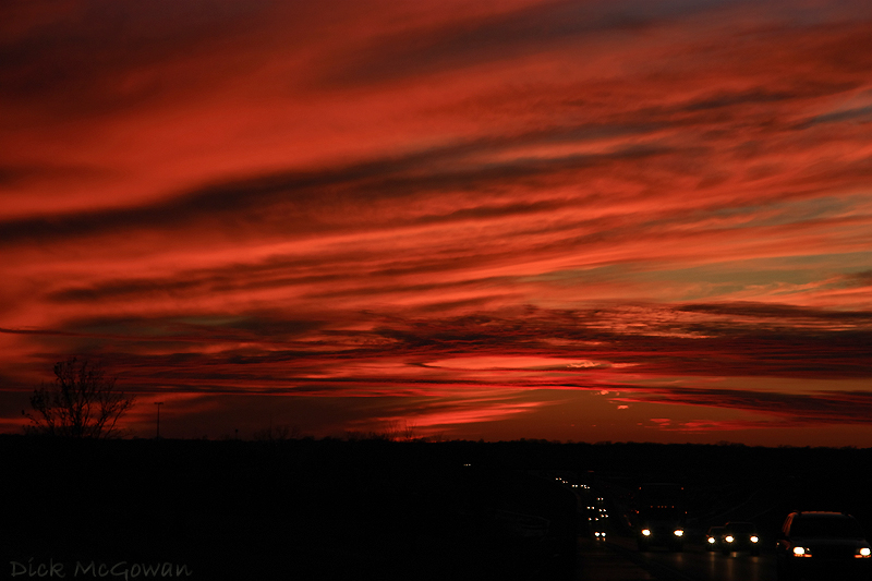
On Thursday, EAX suggests freezing rain, sleet and possibly more snow all depending on where the freezing line sets up. I'm headed out to take some snow pictures as I haven't taken jack in the past month really. I haven't had much time. I'll upload and post those here either tonight or tomorrow. Here's a picture I snapped last Wednesday on I-70...I had to pull over, it was truly amazing.

No comments:
Post a Comment