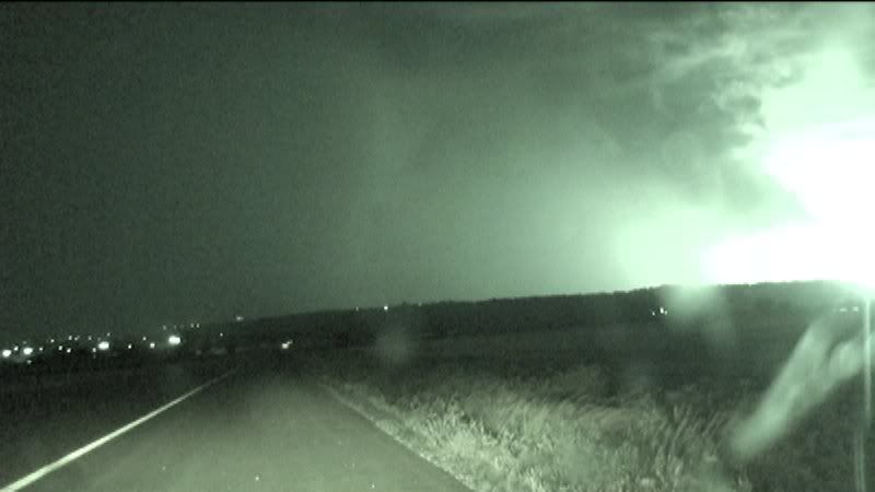
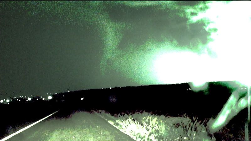
This was shot on the southwest side of Junction city looking north near the town of Ogden. I'm unsure of the actual time, but minutes later spotters would report a tornado on the ground near Ogden. Here is a google map I created showing our location. The "Chapman" tornado (which destroyed much of the town like Greensburg, but was rated an EF-3) had dissipated to the west and the supercell was now cycling, luckily, for Junction City...and a new one would form, like I stated above, near Ogden.
We could never see this in "real" time as lightning was mostly in the core or out ahead of the storm near the RFD gust front...nothing near the updraft of the storm. This was not a chaser-friendly storm, as it was 1. Night time 2. Very HP (high-precipitation) and 3. moving E/NE at 50 mph...before slowing down to about 35 mph near Manhattan. The only problem I see with this, is that the funnel is so high-based and seems out of place...but looks rather convincing (to me) regardless...because of the laminar shape it has.
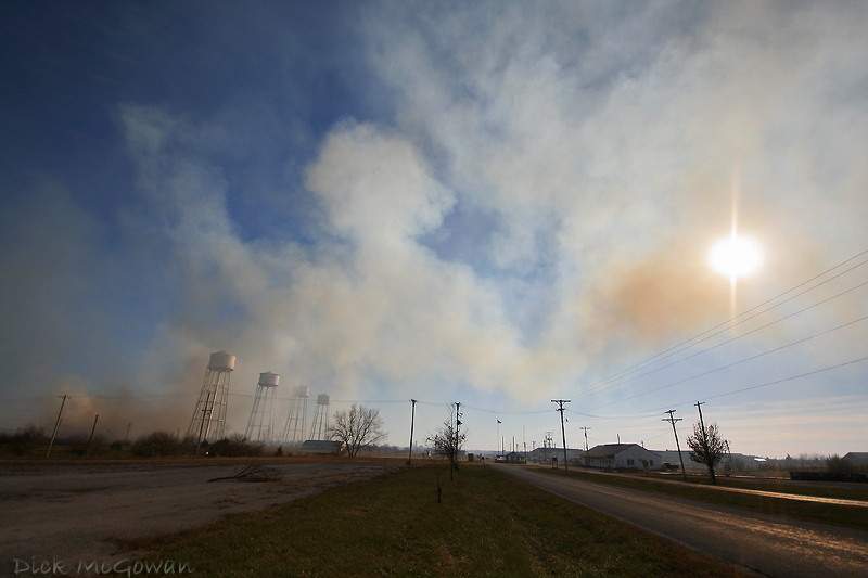
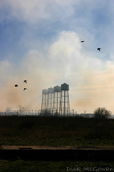
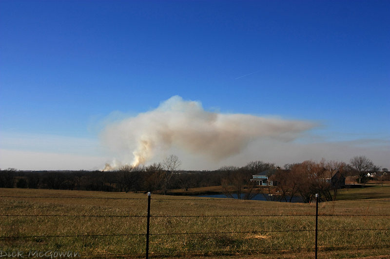
Below are some new photos, some from today, the sunset is from about a week and a half ago...this fire resembled a supercell (or did to me :) ). It was a controlled burn near Desoto/Clearview City, Kansas...where the old Army ammunition plant was. So it was nearly impossible to get very close to it, without trespassing.

Happy Thanksgiving everyone!
1 comment:
Dude, if you have not tried HDR you have got to try it....it is amazing!
Check out the pics on my blog.
Hope all is well
Post a Comment