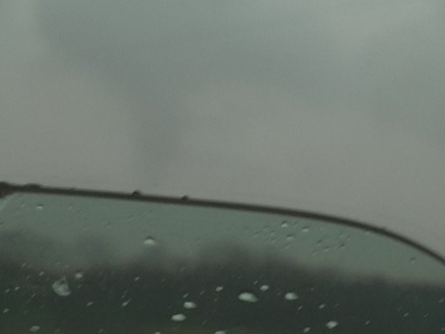
 Tornado #2 immediately to our west

Darin Brunin, Eric B' Hymer and Jordan Wrecke departed Lawrence around noon and headed west to Topeka. There we checked data and proceeded to go to Junction City, where we again checked data. It was decided that the storm in Reno county, could be the player of the day, so we darted after it. Intercepting it south of Salina, KS, the storm looked crap visually, so we decided for our secondary target, SE KS. Well, I'm glad we didn't. We all noted, the strong shift in backing surface winds (which were strong Southwest before), and turned around on I-135 in McPherson County. Long story short, we followed it to Salina, where it started to show some weak rotation. On I-70, the interstate was covered in hail, semi's flipped, making it difficult to catch up with the storm. Construction was coming up, so we pulled off on a county road (that was headed to Manchester KS) and booked it straight north. We found ourselves in the bear's cage quick, and I was PRETTY nervous. Rotation was observed everywhere above us, north, south, east, west. Lonely on this county road, we kept heading north, when out of the precip curtain to our northeast no more than 1.5 miles, I yell "Stovepipe!" A beautiful stovepipe emerged. Almost immediately to our west, a new wall cloud was rotating, and put out a smaller tornado which was short-lived, but CLOSER. We booked it east as the tornado was roping out on County Road 422 heading towards K-15. We then raced north to stay ahead of the storm which was approaching Clay Center. Darin did a live call-in to WIBW about the storm, and as we reached Clay Center, noticeable RFD pflumes were about 100 yards to our west. The storm had developed a huge meso. Hard to see anything at this point, as it was buried in precip. We headed east on 24 to get the hell out of Clay Center, thinking it was going to get hit, and noticing strong winds in the city itself. We jotted north on a highway I can't remember now. Decided against chasing this one and headed for a new torn-warned storms near junction city, watching about 5-6 chasers fly north to catch this thing. Wish we would have stuck with it as Mike Hollingshead and others grabbed another very nice tube near KS/NE border.
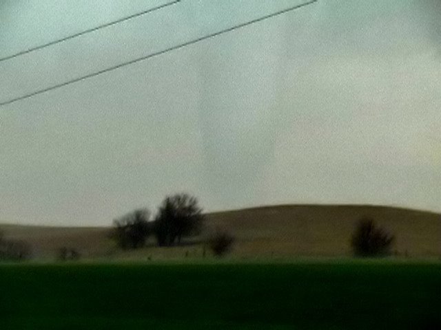
A few video captures, had no time for stills...
No comments:
Post a Comment