Email me at midwesternmeso (AT) hotmail [DOT] com

Please note: All images and videos on this blog are copyrighted by myself and may not be used without written permission. Any persons or entities who do not seek written permission will be held liable for copyright infringement(s) and will be subject to monetary compensation not to exceed $150,000 USD. (In pursuant to 17 USC Section 504(b) and (c), 17 USC Section 505.)
Showing posts with label Supercell photography. Show all posts

Wednesday, September 23, 2009

Top Storm Photos of 2009

Even though there might be a small chance for severe weather in the next week or two, I thought I'd post my favorite storm photos of 2009. I was lucky enough to capture some decent shots in 2009, especially tornadoes. And despite the crappy year that a lot of chasers have had, we've had probably our best year yet...intercepting tornadoes in every month from March until July. Here is a link to last year's top photos.

A 'firenado' back on March 6th, almost as good as the real thing up close:
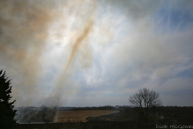
Firenado

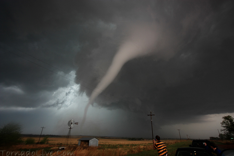
April 26th, near Roll/Crawford, OK:

Roll Oklahoma Tornado

May 6th, 2009 in Linn County, KS a brilliant sunlit wall cloud and rainbow beneath a low-topped supercell...one that didn't even make it into the reports, but is forever etched into my mind:
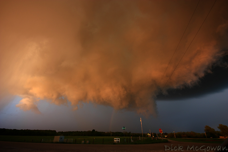
Linn County Low-Topped Supercell + Wall Cloud

May 30th, Clinton Lake Dam, KS, Lightning shot with the moon setting underneath the updraft :
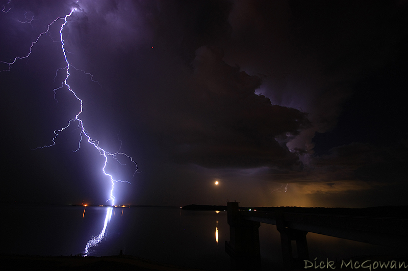
Clinton Dam Lightning + Moon

June 15th, 2009 near Kinsley, KS:

06152009_02web

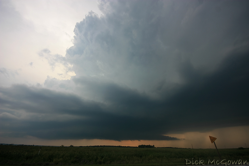
June 17th, amazing structure just west of Grand Island, Nebraska (wish I were just about 2 miles further east) :
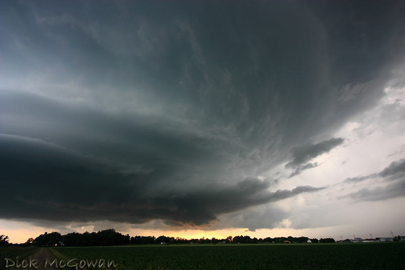
Grand Island, Nebraska Supercell

June 17th, the Aurora, Nebraska tornado as it begins to cross back north of the highway...a few miles west of Aurora:
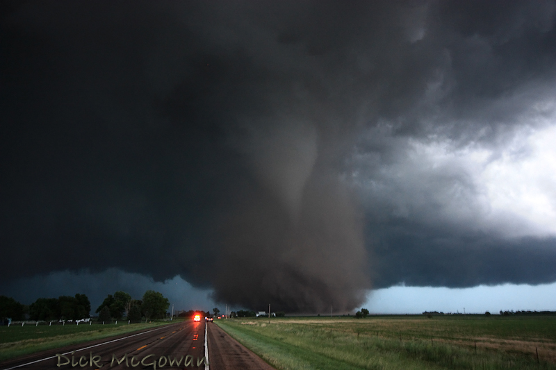
Aurora, Nebraska Tornado

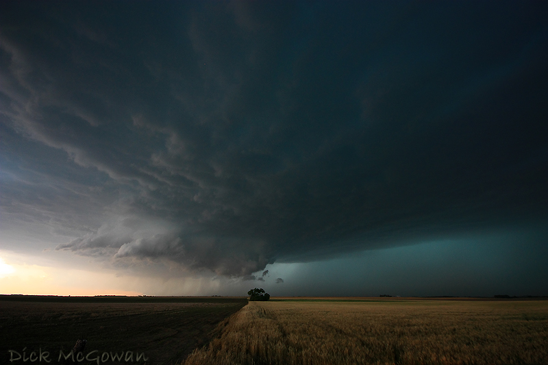
June 20th, Princeton Kansas 'mothership' supercell which produced several, weak, brief tornadoes, but the structure stole the show:
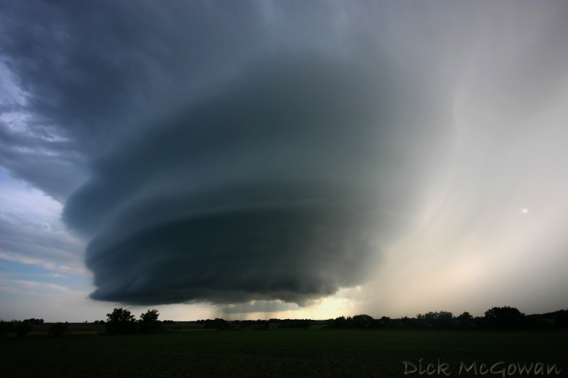
Princeton, KS supercell

Wednesday, June 10, 2009

Fabian Guerra, 6/7/2009 Chase Report

Edit: Tornado pictures today in Nevada County, Missouri (Russel Parsons)

As Darin and I were busting in West Central Iowa this past Saturday, we learned that a fellow chaser, Fabian Guerra passed away on his way to pick up another chaser in Des Moines the night before. According to the police report, a deer jumped out in front of him, causing him to swerve across the median and then proceeded to hit a semi. I knew Fabian as one of the first chasers in the community and met him on a couple of occasions, once in 2005 and the night of the Greensburg tornado in 2007. We also chatted quite a bit in an old storm chaser chatroom about upcoming chases. Dennis Sherrod has set up a memorial fund, which you can donate to here. He will be missed.

On Sunday, Darin, Lexi, Eric and I jumped on a pair of supercells, that failed to produce anything other than extremely large hail from Pawnee City, and the second from Oregon, MO eastward. Here's a video of my car being destroyed by copious amounts of mostly 2" hail with a few baseballs towards the end near Pawnee City. We were trapped in the hail core thanks to some freaked out farmers who were trying to back their horse trailers into a farm nearby. I couldn't get around them for several minutes as we could hear the hail roar and it cost me 2 new cracks and hundreds of dents into my car.


Here are a few shots of the first supercell (Pawnee City, NE), I have yet to process any from the other.

06012009_01web

06012009_02web

06012009_03web

Yesterday was a big bust, with a cold outflow boundary that fooled us into thinking it wasn't cold. The storm we were on displayed supercell structures, a couple of brief, tiny funnels and for the most part, looked cold and outflowish from the getgo.

Contact Me

Contact me @
midwesternmeso AT hotmail (DOT) COM

wibiya widget