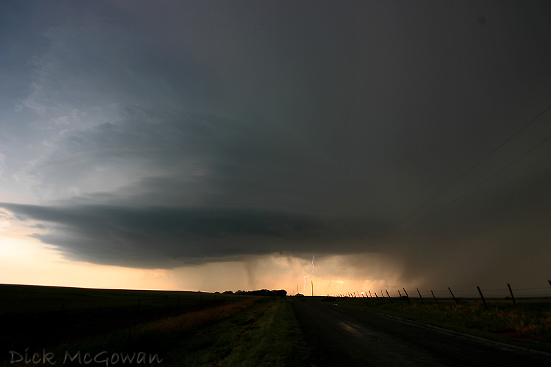
This is the 2nd supercell, below, we intercepted near Clinton, OK which had a nice inflow tail that formed rather quickly. We continued on and noticed a rather quick- moving lowering that formed, but it looked rather cold and disorganized (even though it produced a brief, detached funnel on the southern flank). The storm to its southwest, also, was looking like it may begin to seed it.

We then ditch this one for the 3rd one, which is below...near Hobart.
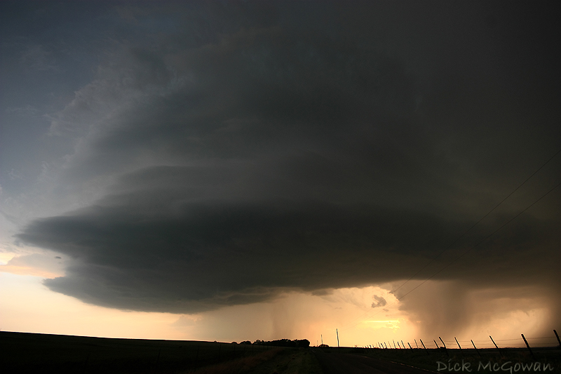
And as it gets closer:
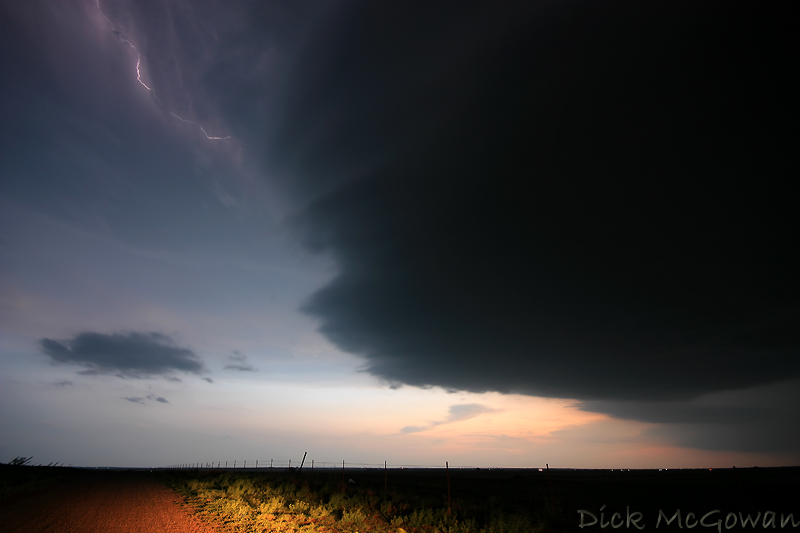
And as it's nearly on top of us at dusk (10 mm):
It was pretty tough to get any foreground lit up in the photos, as this was near dusk. The last supercell was just as amazing structure-wise, but unfortunately I didn't have a chance to get any pictures of it (but we encountered a plethora of golfball sized hail)
And then another (below) from the 26th, I've still got a LOT of photos to process and only so much time to do so. More soon, hopefully. We're still debating on whether to chase tomorrow and may choose the Western Kansas target, should enough instability develop.
2 comments:
Yea I agree on the W Kansas target for tomorrow, the 4km wrf precip model was showing several nice cells on the dryline out there, but I doubt my dad and I will be able to get out since I've missed alot of school the past few weeks. Good luck if ya do head out.
BTW great pics once again dude!!
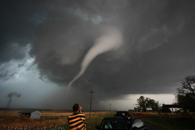
That tornado one is the best of those yet, crazy. Who the hell is sitting in the car with that going on behind them?
Post a Comment