I figured since I'm not fond on writing or summarizing much, I'll keep the blog updated with a new picture or two of storms I've photographed this year either daily or weekly (likely in between). When more time allows, I'll write more if I find the time or will.
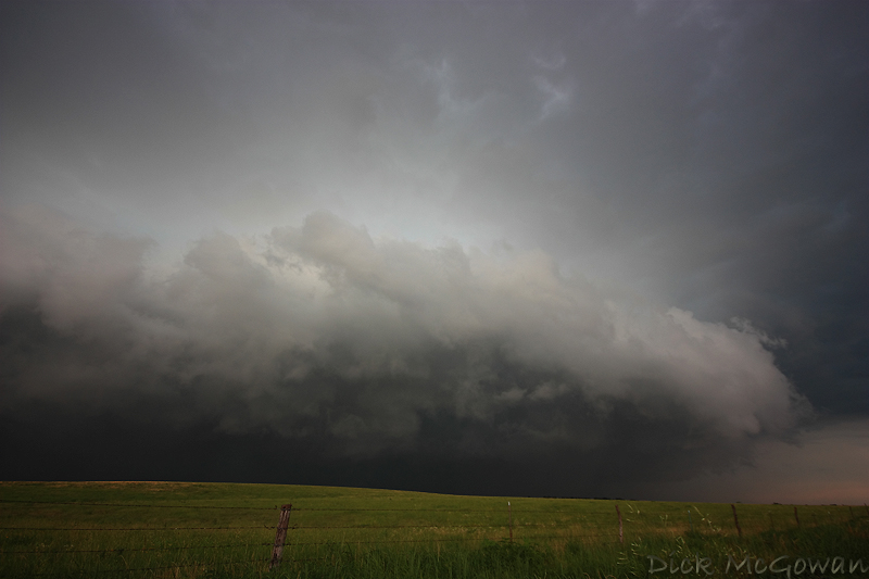
July 8th south of Garnett, KS. I made it south with under 60 seconds to spare watching rainbands scream ahead of me and kicking up a lot of dust along the gust front, which is unusual given the amount of vegetation/tree cover this time of year in E. KS. I drove back through the area I escaped from and found 20+ powerlines down or snapped, a straw field completely flattened and numerous old trees snapped due to 80-100 mph straight-line winds along US 169 for about a 2 mile stretch. I reported and was in contact with the TOP NWS several times, debunking public reports of strong rotation in the storm. I could barely stay ahead of this thing as it moved due south at almost 50 mph. Left it near Mildred, KS and made it back to Olathe by 6 and went fishing. NWS damage survey and info is here.
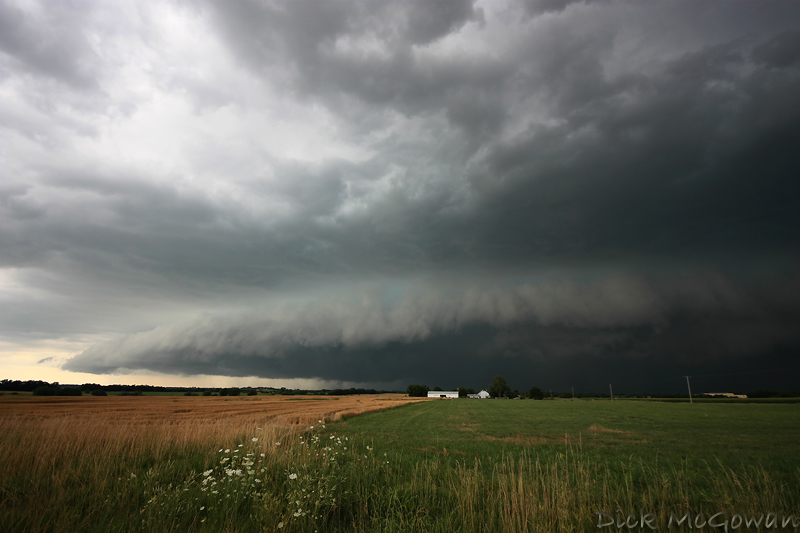
Then further south somewhere near Mildred, KS.
No comments:
Post a Comment