Tuesday, September 28, 2010
2011 Weather Calendar
The 2011 Weather Calendar I helped create is available for purchase now. I think all but 2 shots are my pictures, if anyone is interested. They are on sale for $9.95 and can be shipped internationally, if needed!
Sunday, September 19, 2010
September stands for Structure?
I've seen better storm structure in the last couple of weeks than I have in May or June some years.
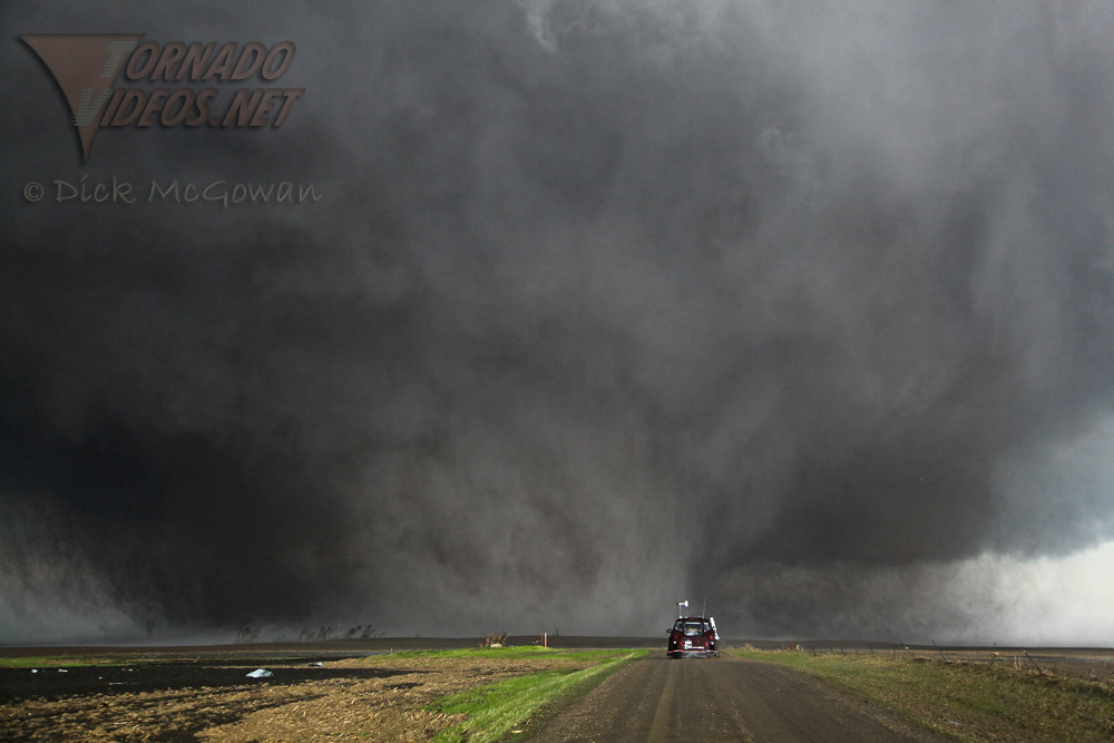
September 1st - near Hoisington, Kansas: This nearly stationary supercell provided nearly 4 hours of eye candy and moved perhaps 15 miles. Got some great time-lapse footage of this.
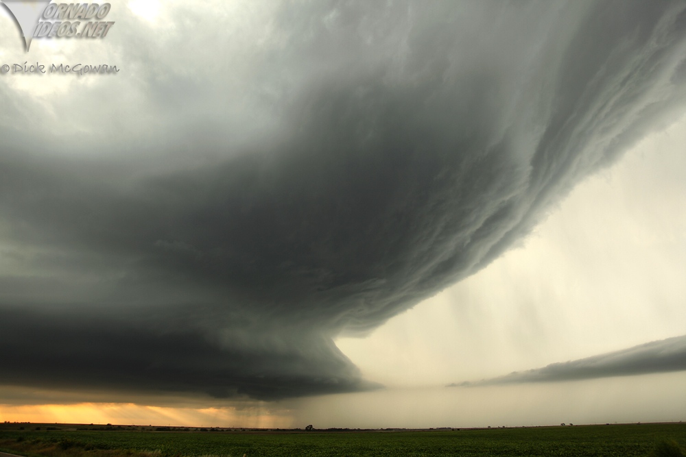
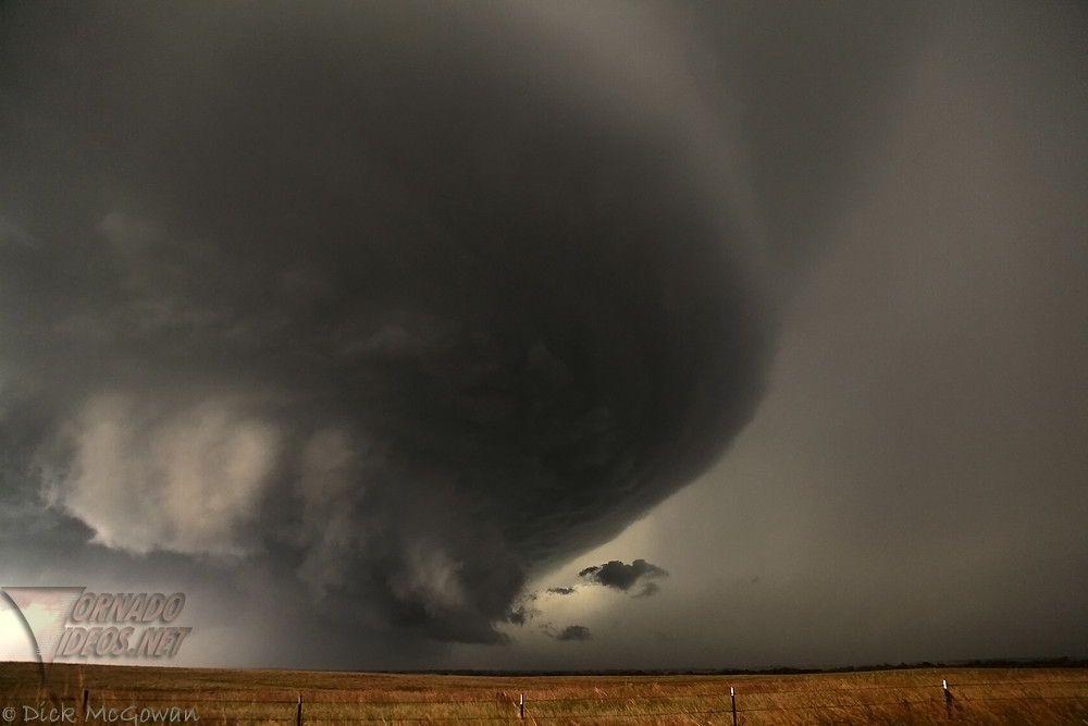
September 15th - from Goddard, KS to east of Winfield, KS: Witnessed state-record sized hail (not that it matters...but I can almost guarantee world record hail fell within feet of my location, I just didn't have the sack to jump out and get one). Saw several gustnadoes and one brief, fully condensed tornado near Mulvane...followed by this amazing structure at dusk east of Winfield, KS. Was EXTREMELY sick this day...but couldn't sit it out, especially when I had the day off.

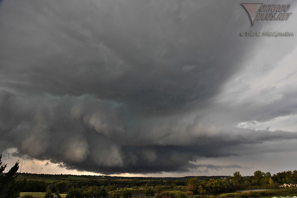
September 18th - Ozawkie, Kansas: Northeast Kansas is really worse than Iowa, but for some reason it provided some decent structure and one attempt at tornadogenesis before gusting out.
September 1st - near Hoisington, Kansas: This nearly stationary supercell provided nearly 4 hours of eye candy and moved perhaps 15 miles. Got some great time-lapse footage of this.
September 15th - from Goddard, KS to east of Winfield, KS: Witnessed state-record sized hail (not that it matters...but I can almost guarantee world record hail fell within feet of my location, I just didn't have the sack to jump out and get one). Saw several gustnadoes and one brief, fully condensed tornado near Mulvane...followed by this amazing structure at dusk east of Winfield, KS. Was EXTREMELY sick this day...but couldn't sit it out, especially when I had the day off.
September 18th - Ozawkie, Kansas: Northeast Kansas is really worse than Iowa, but for some reason it provided some decent structure and one attempt at tornadogenesis before gusting out.
Subscribe to:
Posts (Atom)